Heavy Rain Predicted in Hanoi and Northern Vietnam
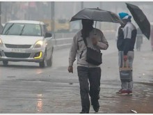
Hanoi is forecasted to experience heavy rain, with some areas in Northern Vietnam receiving over 200mm. The
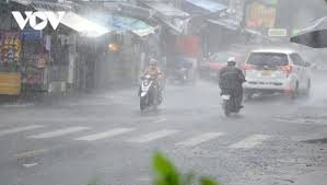
The northern regions of Vietnam, particularly the Northeast and Thanh Hoa, are currently facing significant rainfall, with forecasts indicating that this situation will continue for several more days. According to Nguyen Van Huong, head of the Weather Forecasting Department at the National Center for Hydro-Meteorological Forecasting, heavy rains are expected to last until August 27, after which the intensity will gradually decrease.
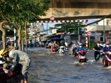
During the period from August 21 to the night of August 22, the heaviest rainfall is anticipated in the Northeast and Thanh Hoa, with expected totals ranging from 70 to 150mm. Some areas may experience localized rainfall exceeding 300mm. The meteorological agency has warned of the potential for intense rainfall events, with over 120mm expected within three hours, which could lead to rapid flooding in low-lying areas and urban regions with limited drainage systems.
On August 21, Nghệ An will also see moderate to heavy rain, with forecasts indicating 20 to 40mm, and localized areas may receive over 80mm. This short-duration heavy rainfall could quickly raise water levels in rivers and low-lying areas, increasing the risk of flash floods and landslides in mountainous regions, particularly where previous landslides have occurred.
In the Central Highlands and Southern regions, sporadic rain and thunderstorms are expected, with rainfall amounts of 15 to 30mm, and some areas may see over 60mm. Rainfall in these regions is primarily expected in the late afternoon and evening, accompanied by risks of whirlwinds, lightning, and strong winds during thunderstorms.
Residents are advised not to be complacent as the rain decreases at times, as prolonged rainfall can saturate the ground and increase the risk of landslides. The situation is being closely monitored, and updates will be provided as necessary. The meteorological agency has classified the risk of natural disasters due to heavy rainfall, thunderstorms, and hail at level 1.
In addition, Tropical Storm No. 4 has formed in the East Sea, with wind speeds reaching up to 74km/h, moving slowly over the Gulf of Tonkin, adding to the weather challenges in the region.