1. Introduction
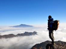
Bidoup Nui Ba National Park belongs to the administrative division of Lac Duong district and part of Dam Rong district, Lam Dong province. With an area of 64,000 hectares and a peak height of 2,287m, Bidoup Nui Ba National Park is a name many backpackers often mention when they want to conquer. Bidoup Peak, 2,287m high, is known as the "roof of the Central Highlands" or "the roof of Lam Vien" because it occupies a large part of the LangBiang plateau. You must go through old forests, rivers, and vast grasslands to reach the top.
Bidoup forest has 1468 species of plants, of which 62 are rare. This place is also the kingdom of 250 species of beautiful forest orchids amid green nature.
Regarding animals, Bidoup has 56 species listed in the list of rare species. Forty-seven species are recorded in the Red Book of Vietnam—thirty on the IUCN Red List.
![]()
2. How to move the Bidoup trekking route smoothly
Easy trekking route
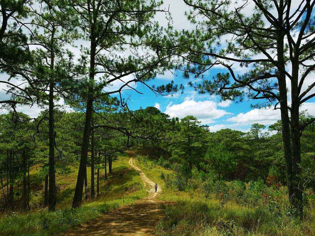
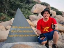
Provincial road (DT) 723 – Bidoup ranger station – Bidoup peak – K'long K'lanh station (27km) – Bidoup forest
![]()
This road is easy, with less slippery slopes, suitable for those of you to explore for the first time.
+ You depart from provincial road 723 and go to Bidoup ranger station: you can ride a 7-seater Isuzu or a 6-seater coat. In addition, you can also make a shortcut about 7km.
+ In front of the Bidoup ranger station, you will take a towboat by hand, crossing the Da Nhim River. Then stop and have lunch here.
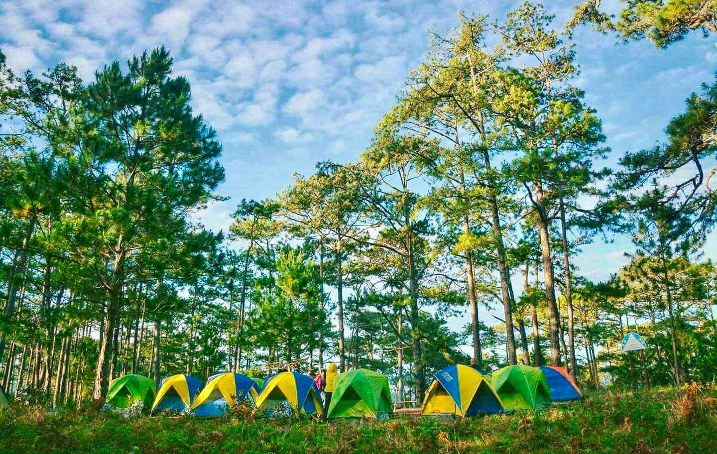
+ Before conquering the top of Bidoup, you will find a place to stop, set up a tent and rest. This place is located between the pine forest and the evergreen closed forest.
![]()
+ On the following day, prepare yourself and then make a trekking trip of about 3km to reach the top of Bidoup. It would help if you went early in the morning to admire the beautiful moments of nature.
+ Finally, after experiencing the feeling of reaching the top, turn left, climb uphill for about 4km more to reach the station, and then to Bidoup forest. Be careful on this road back. Don't get so excited that you forget the danger lurking deep in the woods.
Difficult trekking route
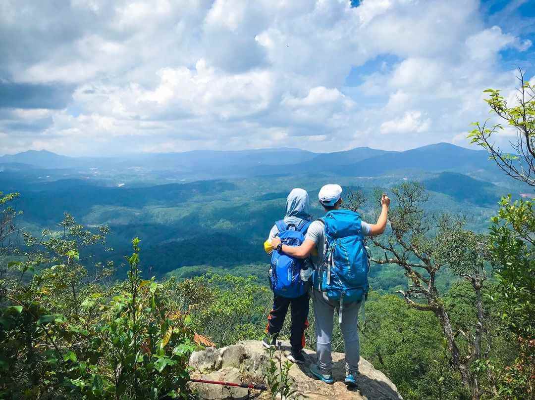
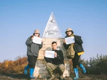
K'long K'lanh station - Bidoup peak - Bidoup station - provincial road 723 This road has a steep slope and quickly loses strength because you must start from low and then go up to a height of 2,287m in a circuit throughout. The distance is quite long, surrounded by dense forests covering the clear blue sky. Therefore, making this journey requires the performer to have solid trekking skills.
+ At the beginning of the journey, you will start from the K'long K'lanh ranger station. Then move to the suspension bridge, and climb until you reach the rock to stop and rest.
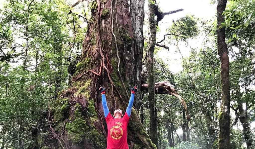
+ In the middle of the journey, conquering the top of Bidoup: You will continue to walk under the trees to reach the 1,300-year-old Po Mu tree. Then you will depart to the top. In this section, you must combine hands and feet to grasp the 45-degree climbing vines to the top.
![]()
+ You will camp here after traveling another day from DT 723 to Bidoup station (about 17 kilometers away). It would be best to prepare delicious BBQ dishes in this Bidoup mountain space.
+ To finish the Bidoup trekking schedule, you must move another 10km. Go down to the K'long K'lanh station area (10km long) and return to provincial road 723.
![]()
3. Bidoup trekking experience
3.1. The best time for Bidoup trekking
The most beautiful time for Bidoup trekking is in the spring, i.e., around December to April, when the plants start to sprout, the animals are in the growth stage, the weather is dry, and the air is cool. In addition, you can admire azaleas and orchids racing to bloom.
3.2. Needed skills
Trekking skills
First aid skills
Tent building skills
Fire-making and fire-keeping skills
3.2. Necessary luggage
-Clothes and accessories: Prepare 2-3 sets of thin, breathable, quick-drying clothes that absorb sweat readily. A coat that dries quickly and is warm enough for the night. Wide-brimmed hat for sun protection. Sunglasses, 2 to 3 pairs of socks to change when wet when crossing the river or wet with sweat…
– Backpack: With power belt, often used for trekking. Convenient to carry during the journey.
– Trekking shoes: Shoes should have good adhesion and be non-slip. You should bring a pair of sandals with straps for comfort.
– Food + drinking water: The journey will lose strength quickly. Therefore, you should bring snacks with chocolate like Kitkat, chocolate, Snickers, etc., to replenish energy along the way. As for drinking water, bring about two and a half liters or 3 liters.
-Money, identification documents: You should only bring enough money to use. Bring only a little because, in the forest, money becomes unnecessary. Regarding identification, you should bring your citizen ID and driving license (in case you will rent a car).
– Medical equipment and medicine: You should bring bandages and red medicine. In addition, you should also bring medicines such as Panadol, Decolgen, Smecta, Salonpas, C, effervescent tablets, Oresol, and particular personal medicines.
4. Note
Absolutely no littering
You should register to buy a tour and have a guide
Do not arbitrarily separate the group
Do not eat leaves, mushrooms, or strange fruits in the forest