
Boats are like looms on the Red River winding through Hanoi
The largest river in the North created the Hong River civilization, when it flows through Hanoi, there are
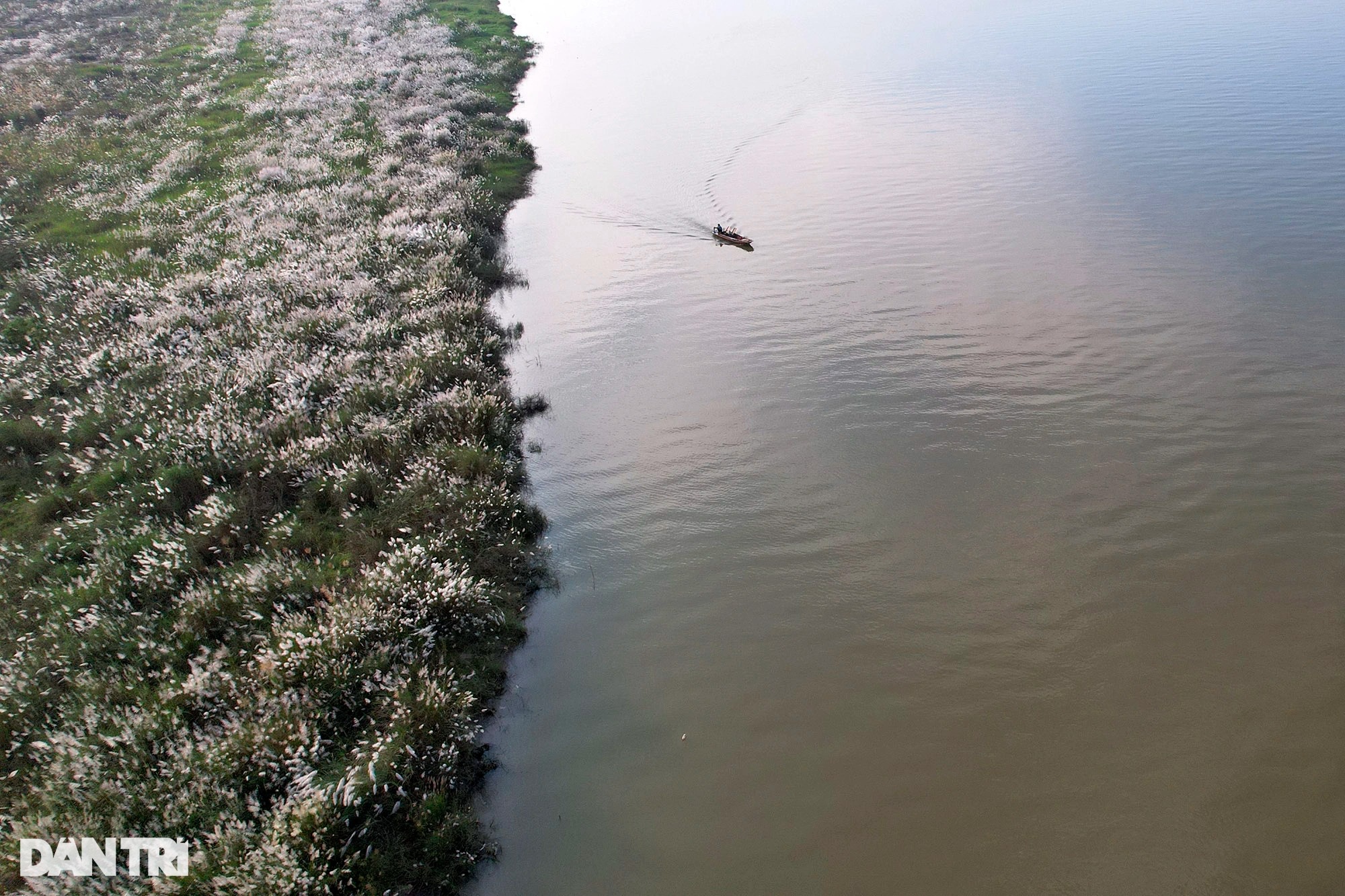
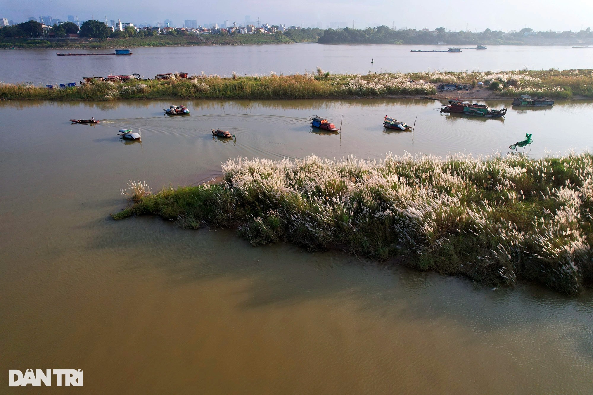
The Hong River flows through Hanoi, creating hundreds of different large and small alluvial flats in the middle of the stream. This season, the alluvial plains are white and clean, many of which are empty of human footprints.
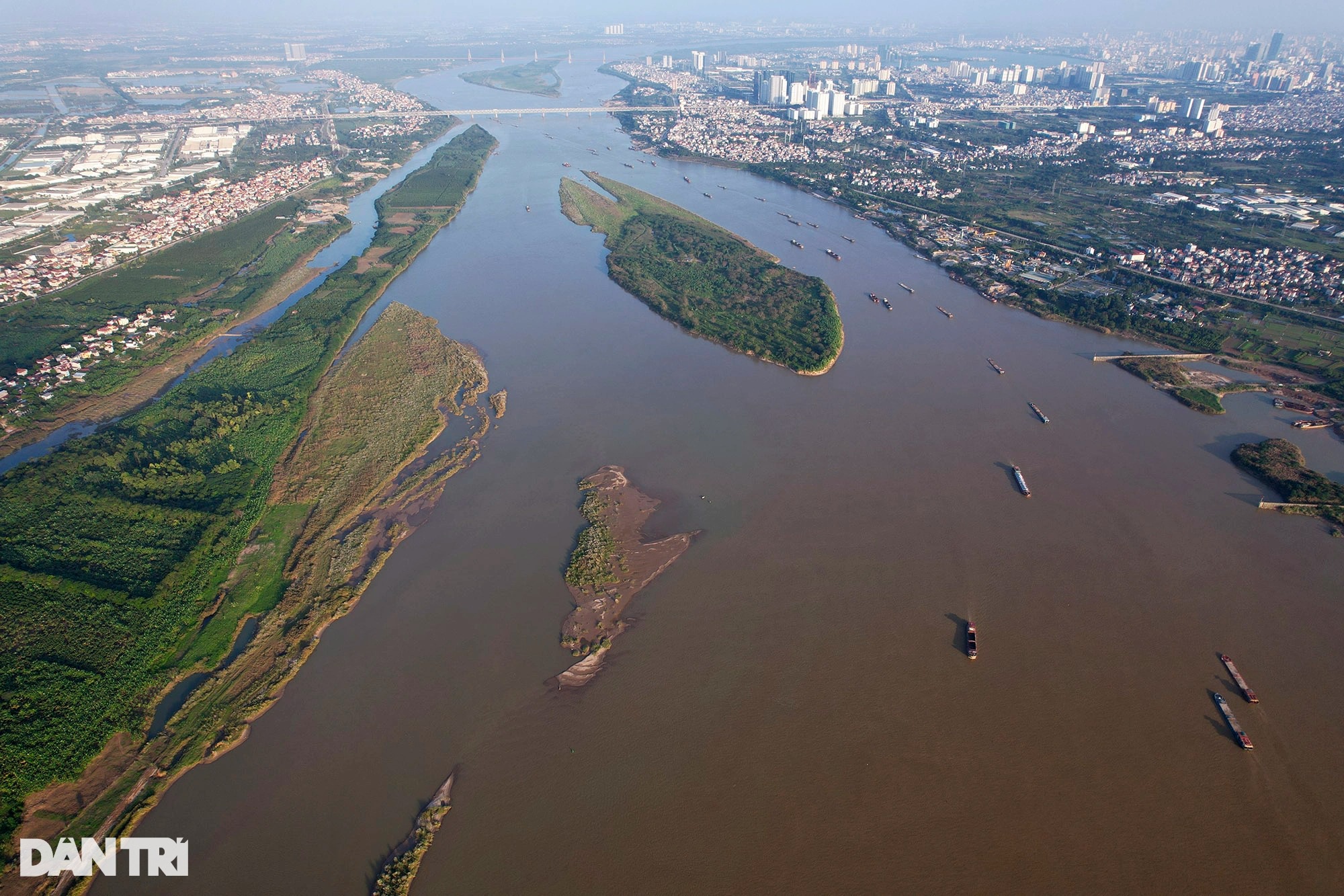
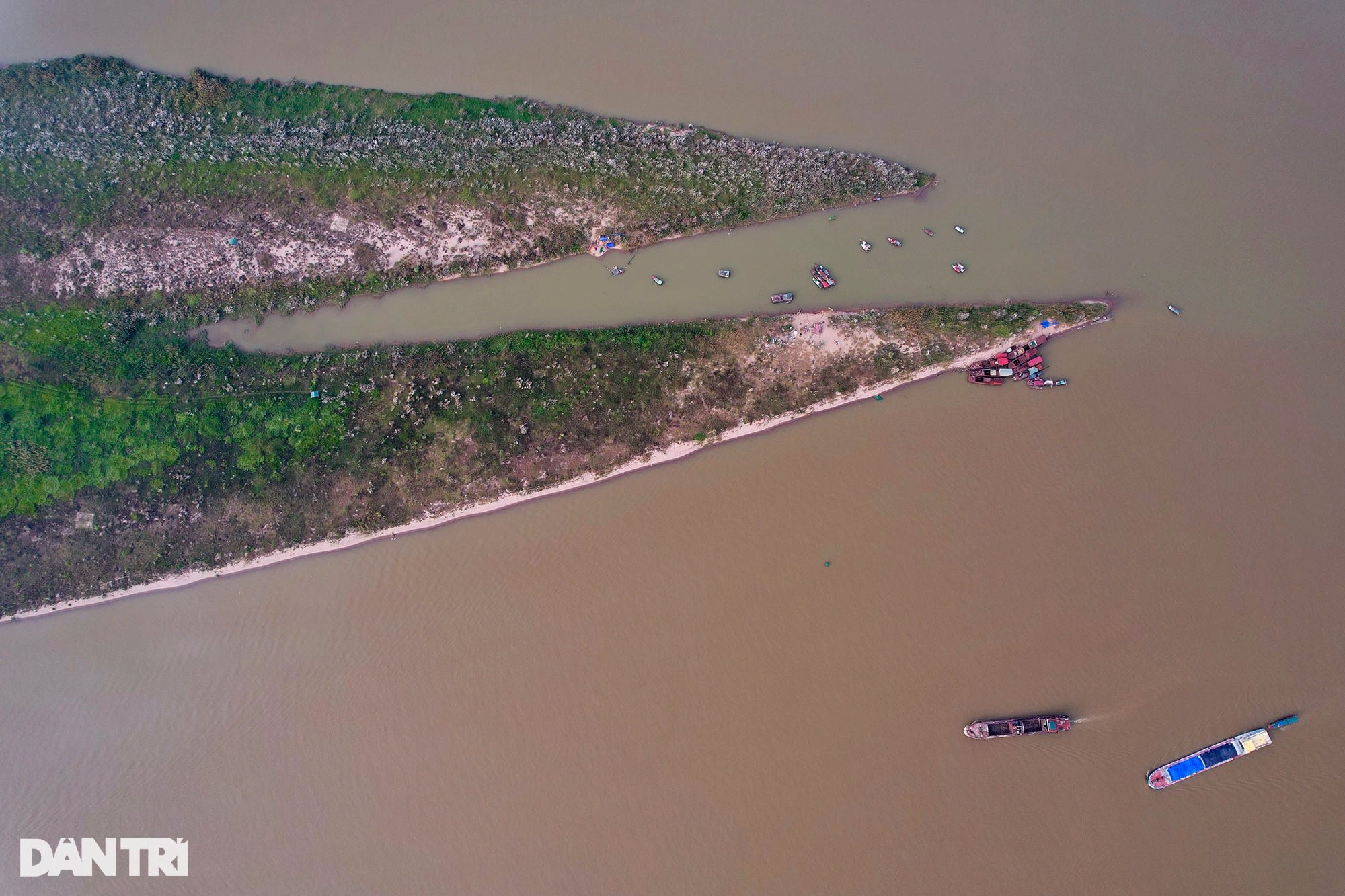
The Hong River section flowing through Hanoi emerges a lot of mudflats in the middle of the river (middle bank) with many shapes and positions, causing the flow to be split.
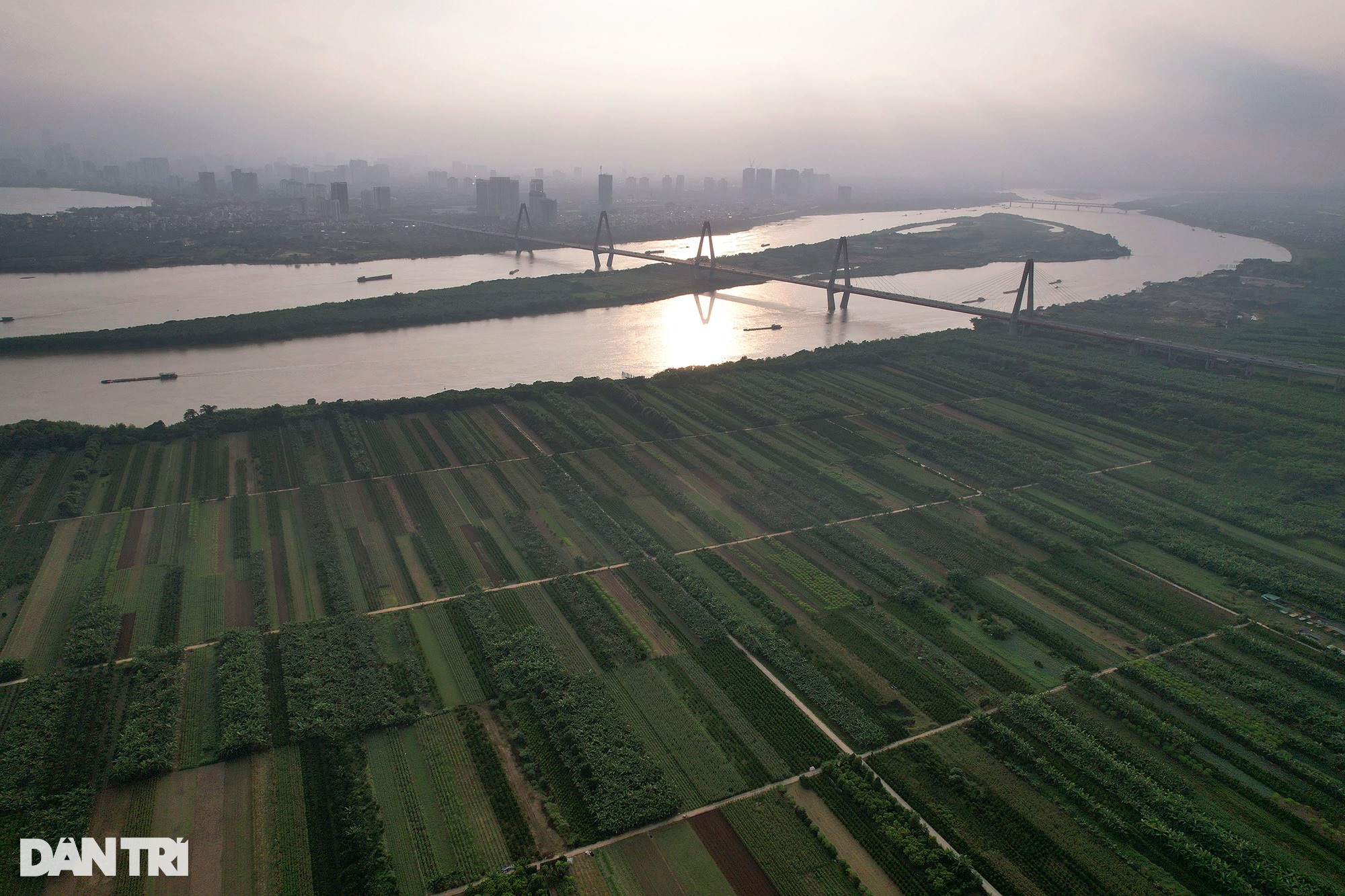
These middle beaches all have one thing in common: wildness and few human footprints. In the photo is a part of alluvial ground between the Hong River in the section between Vong La commune (Dong Anh – on the left) and Lien Mac (Bac Tu Liem – on the right).
At the beginning of 2021, the Hanoi People’s Committee asked relevant departments and agencies and the People’s Committee of Hoan Kiem District to consider the policy of researching and setting up 3 projects in the Hoan Kiem district. Including project No. 3 to develop the middle and alluvial areas along the Hong River in Hoan Kiem district into a cultural and tourist park.
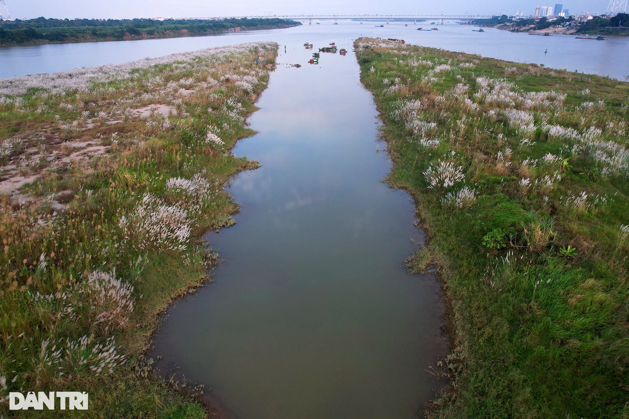
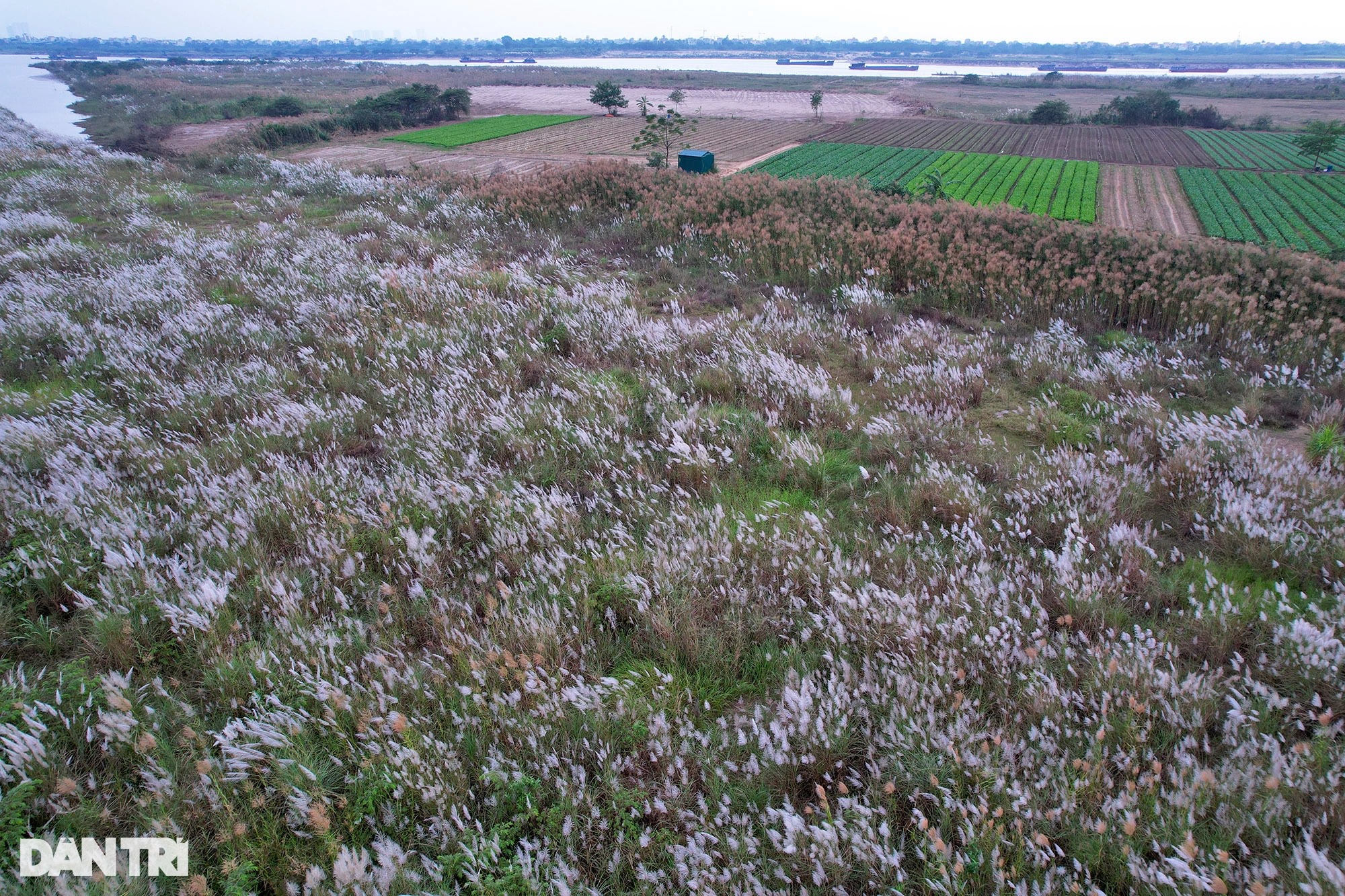
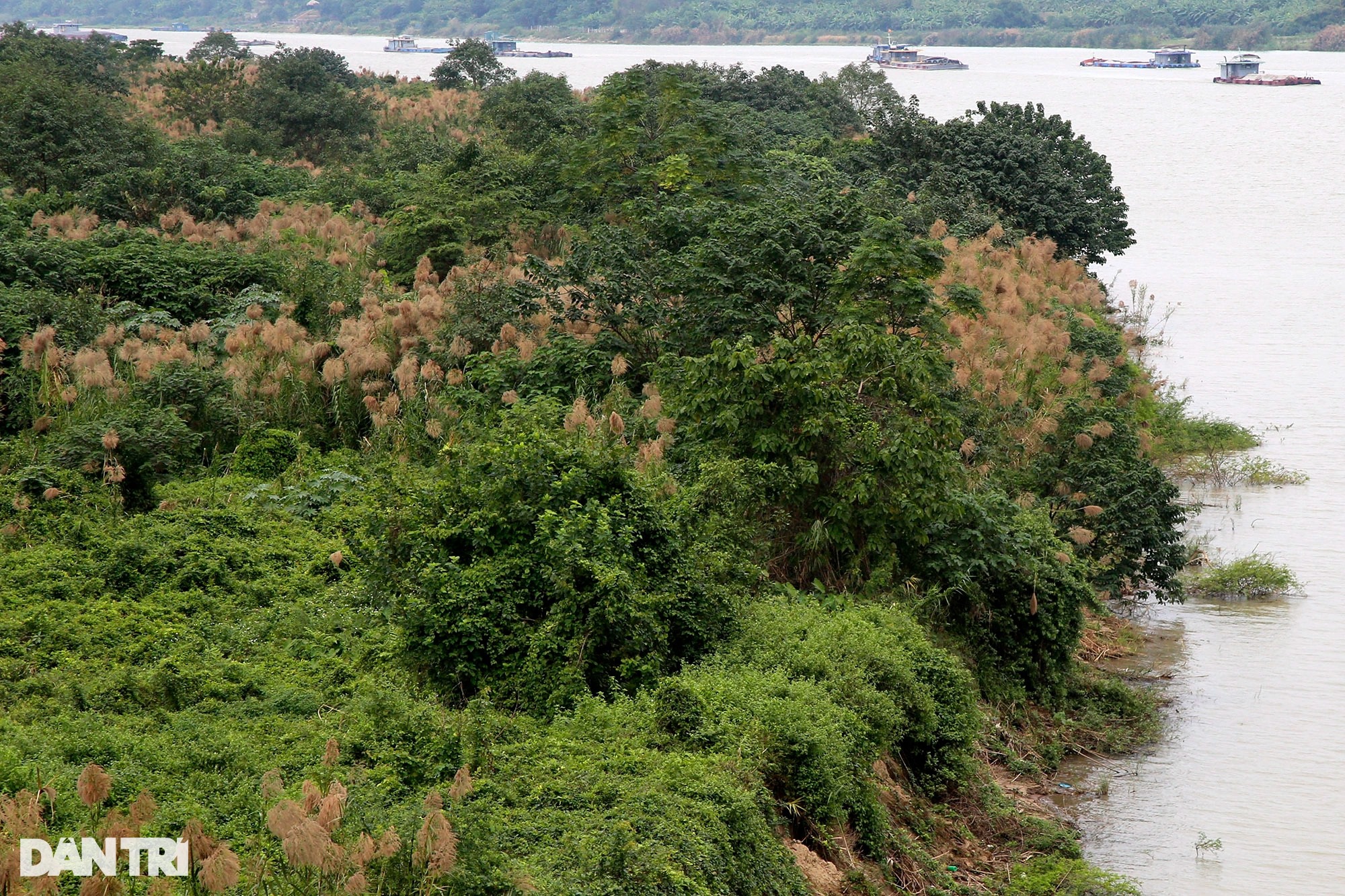
From November to December, the specialties in the middle yards are thatched grass and reed grass. On beautiful weather days in the early morning or late afternoon, the sunlight shines on the white grass creating a wild beauty.
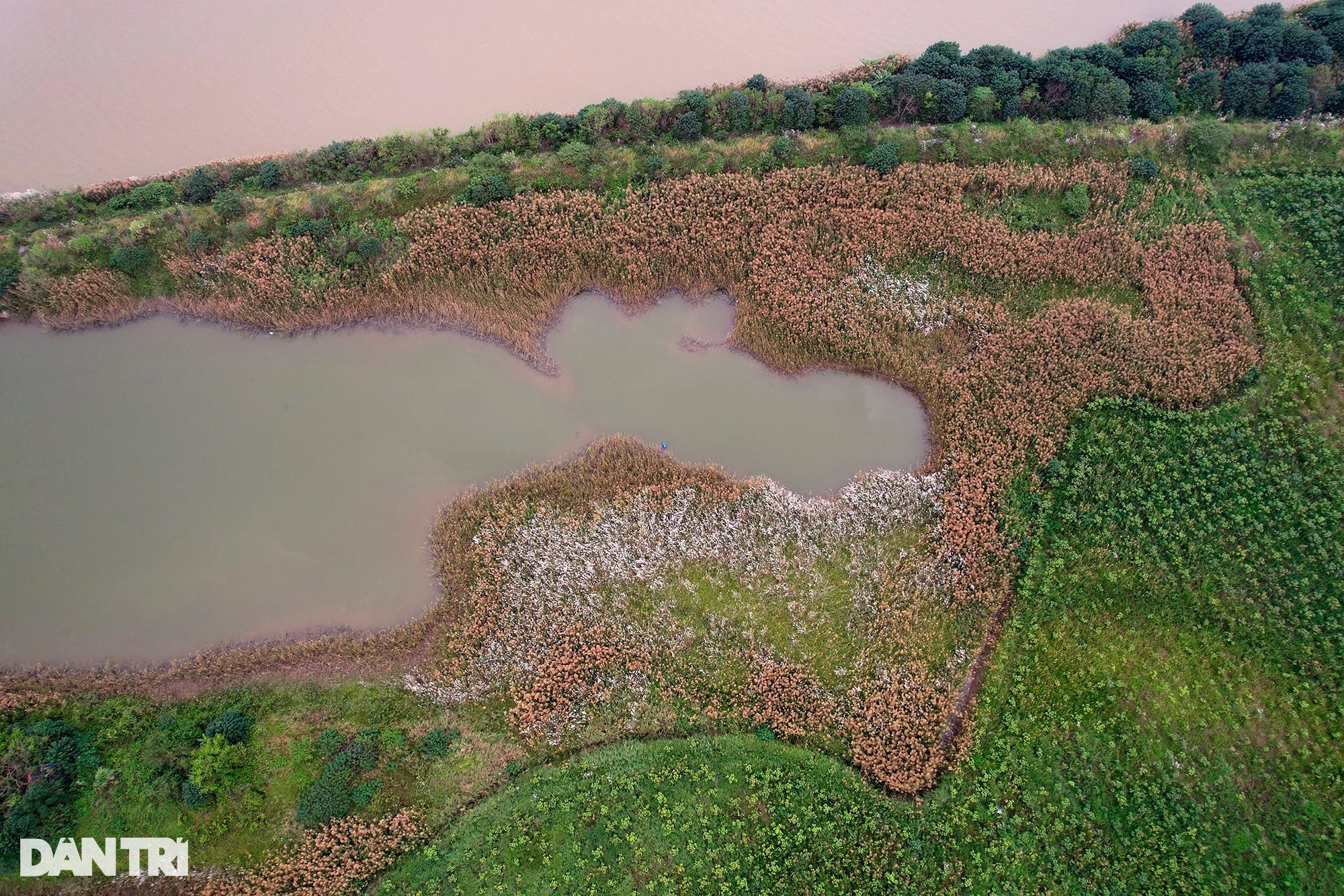
The middle banks also have a common diamond shape, flowing along with the flow. In the photo is a middle beach at a bend in the territory between Trang Viet commune (Me Linh – left of the Hong River) and Hong Ha commune (Dan Phuong – right of the Hong River).
In the big enough mudflats, the ground is firm, people often take advantage of crop farming and livestock.
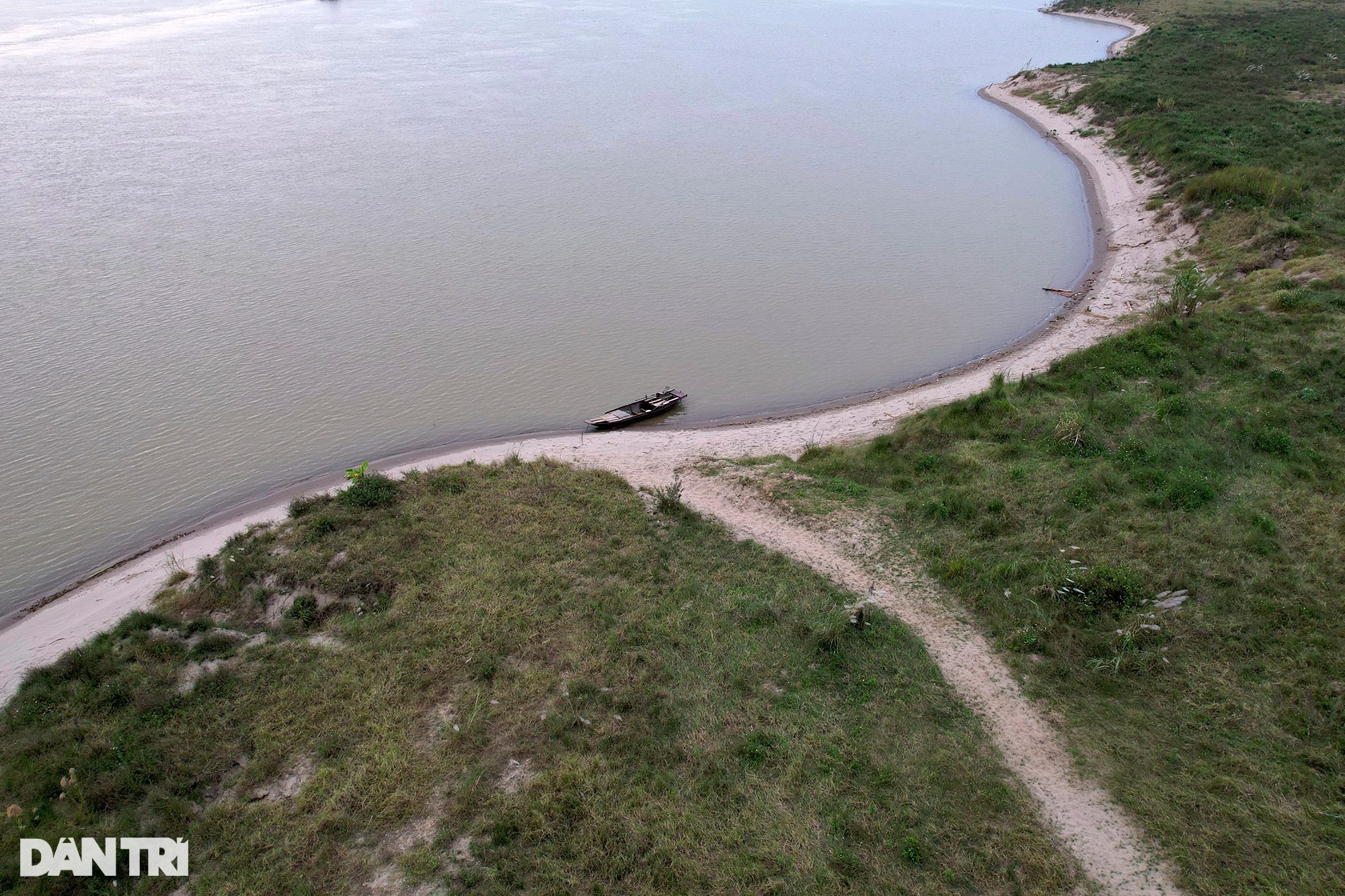
Only people come here by boat to grow crops, or those who swim in the river can set foot on the beach. The familiar paths on the wasteland gradually became trails.
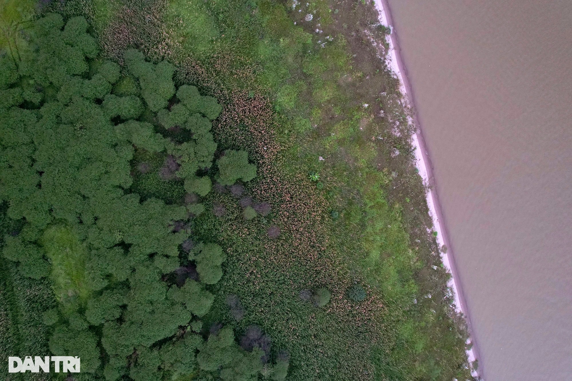
Low bushes and weeds form patches of very unspoiled natural color. Low-lying mudflats are often flooded during the rising water season.
Unspoiled sandy beaches just looking at it makes me want to bathe.
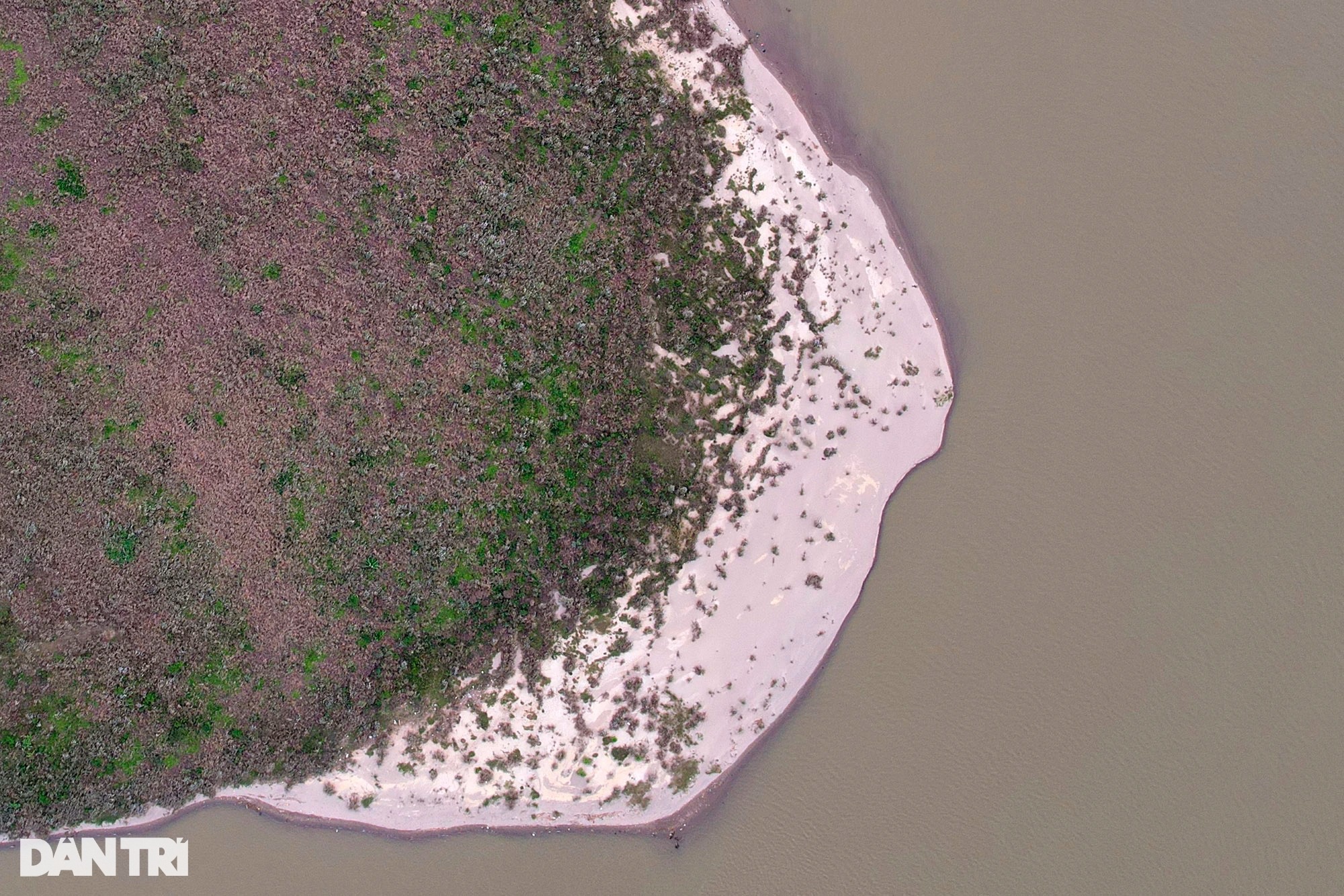
A mudflat is shaped like a boat lock.
Panorama of the middle of the area at the foot of Vinh Tuy bridge, this is a large beach stretching close to the foot of Thang Long bridge. Along the length of the Hong River, starting from Lao Cai, flowing through many provinces and cities and then pouring into the sea, there are many large and small alluvial flats forming in the middle of the river, but the largest can be the middle beach in Tu Lien wards. Chuong Duong of Hanoi.
A colorful picture of natural vegetation mixed with human hands.
The view from a middle beach towards Phu Thuong ward (Tay Ho).
A middle beach at the foot of Long Bien bridge, with dense vegetation up to 2-3 m high. This is a very beautiful deserted beach. The bridge can cover most of this mudflat.
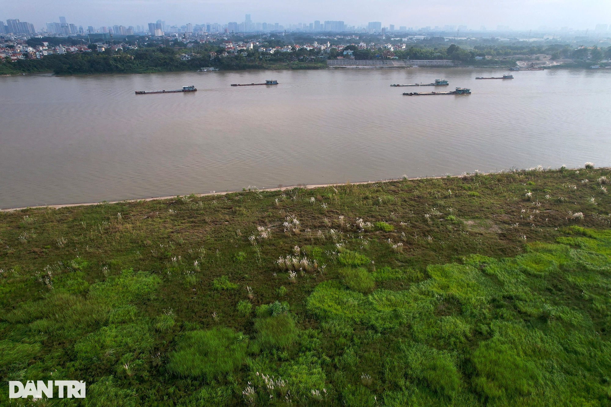
In recent years, due to the appearance of large and small hydropower projects upstream of the Hong River, this red-cove Hong River is no longer flooded all year round. Even the rainy season. The middle ground is more stable, attracting people here to cultivate and raise livestock. Follow Dan Tri