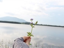
Watching the waterfall is like a “sleeping princess in the forest” in the Central Highlands
Located deep in Kon Chu Rang nature reserve, K50 waterfall attracts a large number of tourists from all over
Dong Nai is not a famous tourist destination, but thanks to its favorable climate and poetic scenery, you can choose Dong Nai to become a weekend resort. One of the destinations in Dong Nai that not many people know – Thac Rang tourist area.
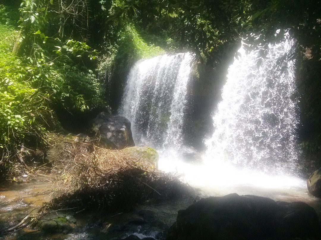
Rang waterfall ( also known as Rang stream ) is a small waterfall in Phu Ly commune, Vinh Cuu district, Dong Nai province. Rang waterfall originates from Ta Lai forest, flows through the forest of Phu Ly commune and finally flows into Tri An lake. This is a stream that plays a very important role during the war. It is a place that provides water sources for both sides to fight.
Rang waterfall is about 70km from Tri An junction, about 110km from Saigon. You can go home during the day, or camp overnight.
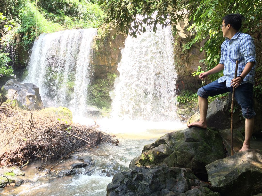
Rang Waterfall is still very beautiful
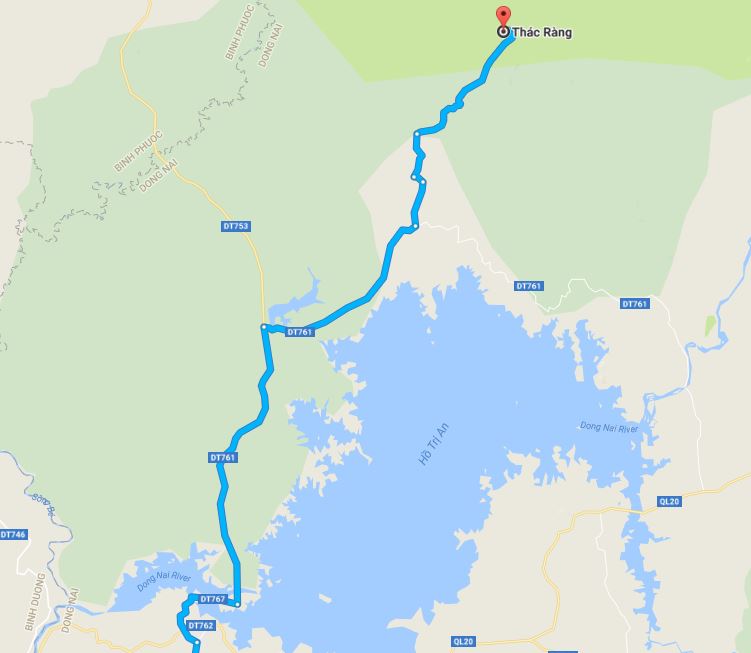
To go to Rang waterfall, from Saigon you start along Highway 1A towards Thu Duc direction to Suoi Tien ( you can also follow National Highway 1K ). Go through Bien Hoa 2 Industrial Park, cross the new Dong Nai Bridge. Continue across Amata Industrial Park, April 30th, then come to Tri An intersection. Here, turn left onto DT767. Running to the end of the road DT767 will meet Lam San intersection. Turn right and continue running until you pass the Ma Da guesthouse, Dong Nai Nature – Culture Reserve for a bit, then turn left onto DT761 street. (It’s a bit troublesome, but when running on the road, you should pay attention to ask the people around it)
Thac Rang trail on Google Map
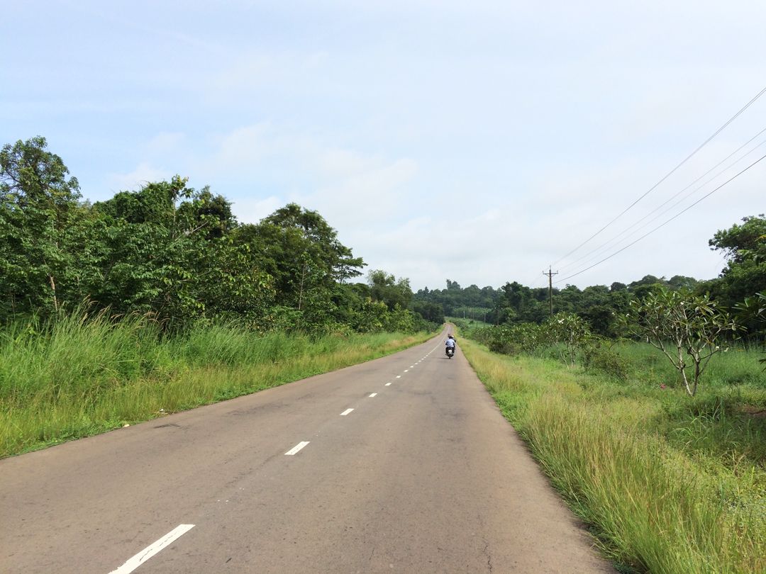
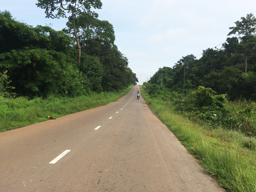
Provincial Road DT761 is the only road running through Ma Da forest and the famous D zone relic. Especially, this road is very empty . So you need to prepare a full car repair, body room when passing here if you accidentally have a problem. This road is very beautiful and flat, sloping up and down, winding, extremely beautiful.
Road DT761 has very nice straight lines, but very few people pass by
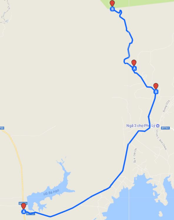
At Ba Hao intersection, you turn right hand, continue on DT768 road into Phu Ly commune. From here the road is quite difficult to find. I have found a Google map on the internet that is quite detailed at the beginning, but the next one has 1 point wrong.
Thac Rang road from Ba Hao junction to Phu Ly
Just follow the map as shown below, but note that at point A on the map (between 2 points B), turn right ! The position of point B above the map is not the access road to Rang waterfall.
A few hundred meters before reaching the intersection of Phu Ly market, you turn left onto DT322B street and follow the Google map map to reach the first ranger station.
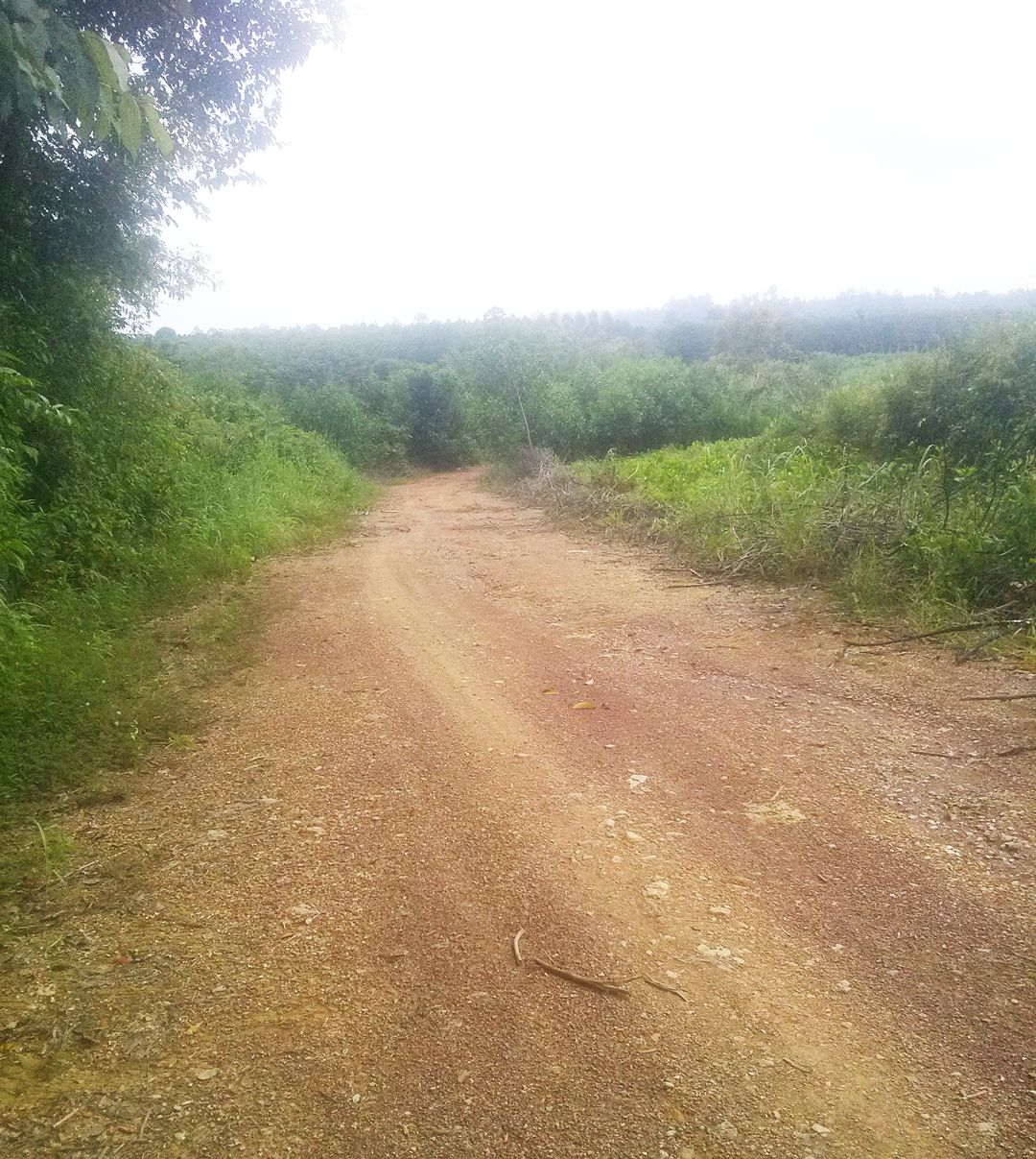
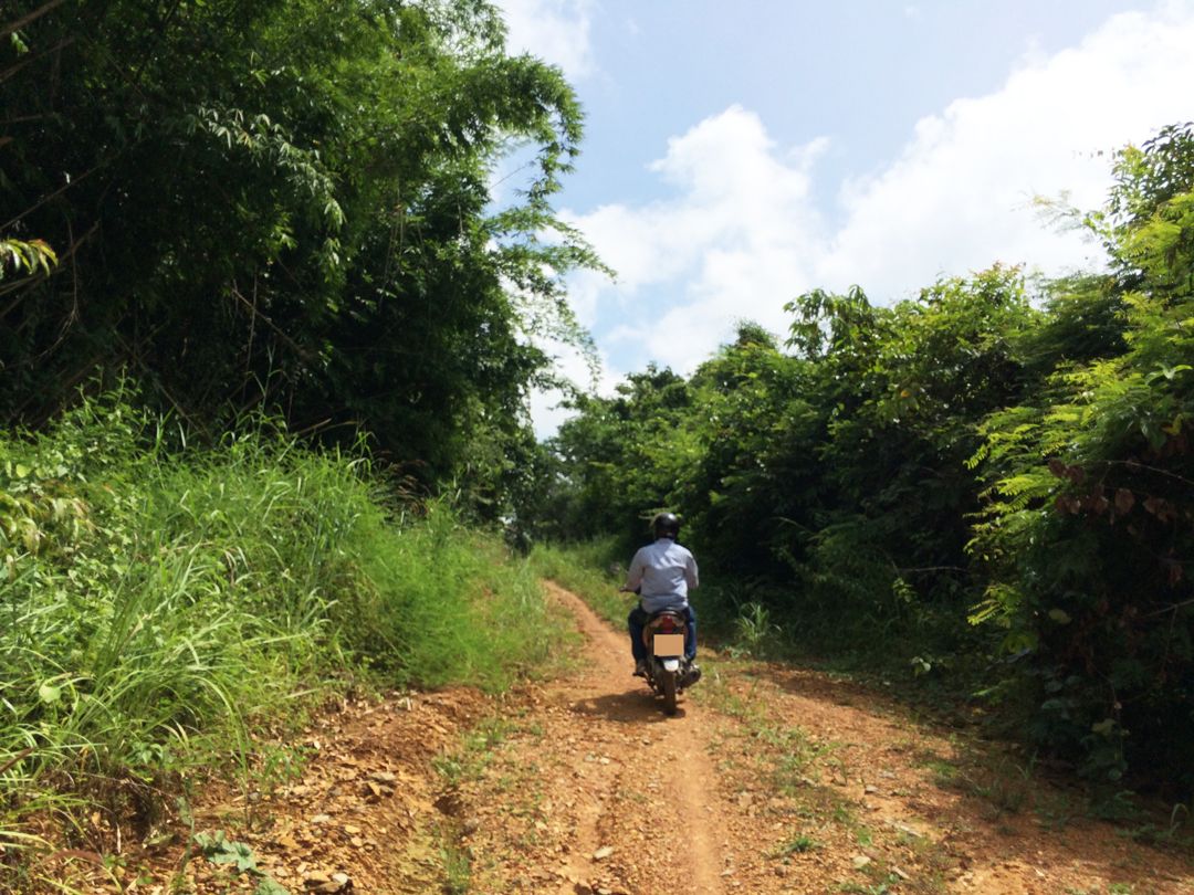
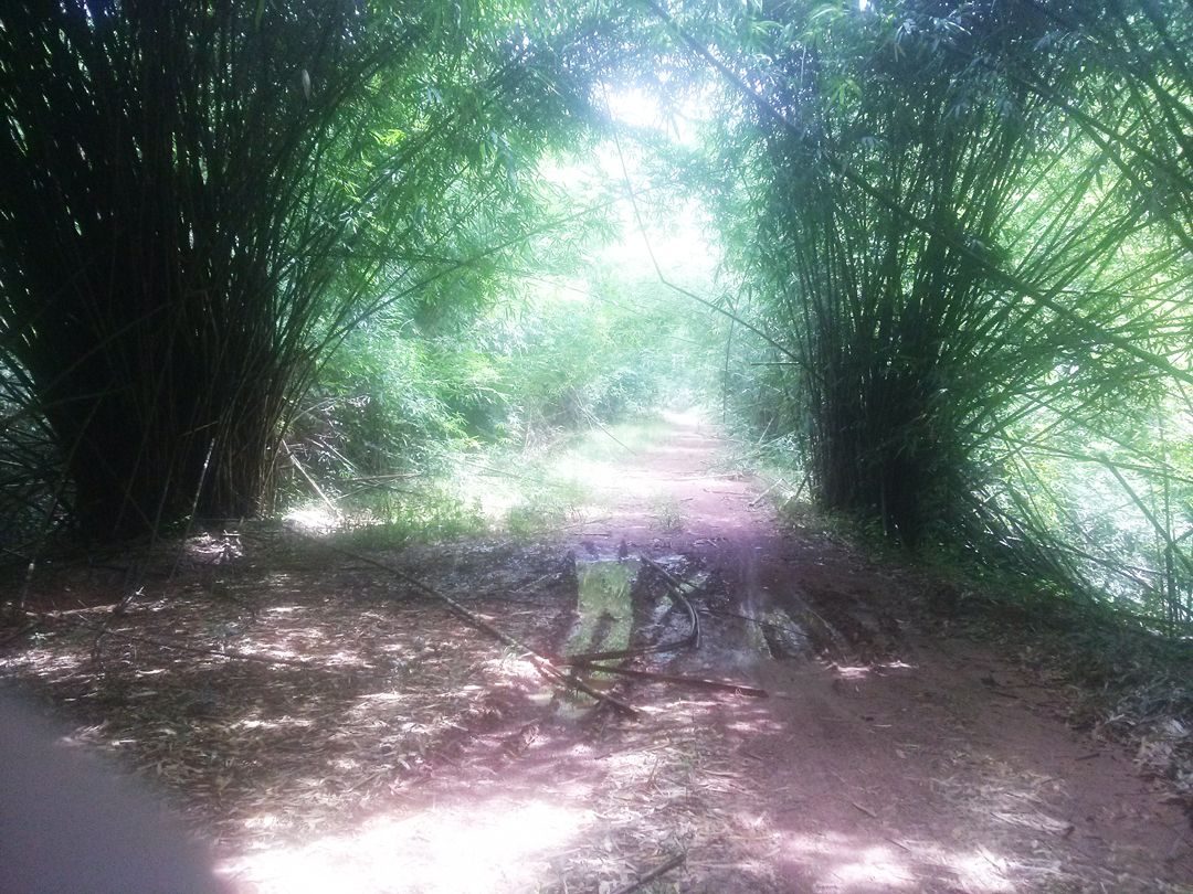
After passing this station, you will have to face more than 10km of red dirt road which is difficult to go. Two sides of the road are giant umbrellas, overgrown bamboos. There are sections of tree growing out of the way. You have to be firm on the steering wheel.
The red dirt road is more than 10km long to go to Rang waterfall
If you go to buy it dry, the red soil will be covered with dust. If you go in the rainy season, this road is really an obsession for those who come. The road is muddy and muddy,… There are sections where you have to go down and push to pass. However, the beauty and the wild are nowhere to be found.
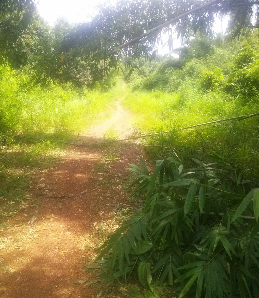
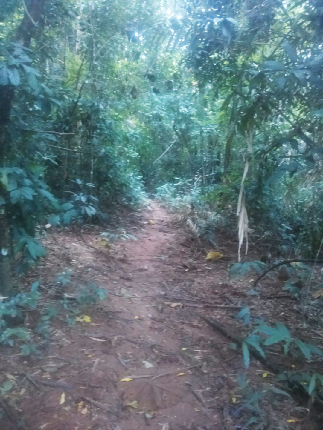
Over 10km of this muddy road will reach the second ranger station. This is the last station. You send a car, say hello to the soldiers here and ask for the way to trekking into the stream. More than 300m range is coming.
The road to Rang stream is only about 300m, quite murky and wet because it is near the waterfall
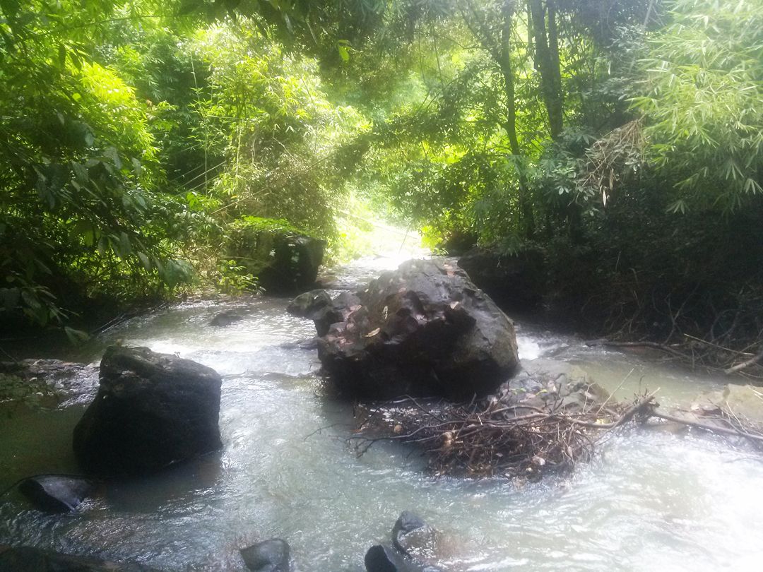
Especially if you go in the rainy season, you must be careful to avoid spinning. There is a lot of squeeze along the way. The closer you get to the stream, the more squeezed it becomes. Squeezed everywhere, if not careful it will get into you at any time. The best way is to wear long-sleeved clothing, cover the legs, shoes to prevent it from getting in. There are good things that will cling to you when you do not know. Even if you just put your hands or feet into the stream, you run the risk of being squeezed.
If you camp overnight, you have to get permission from the soldiers at the ranger station outside and set up a nearby tent. Experience a forest space completely separate from the outside world. Together with the continuous waterfall sound day and night.
This is an unforgettable experience for those who love backpacking and adventure, especially love wildlife.
Have a nice trip! Photo: Internet